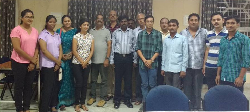
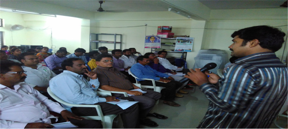
SEED
Smart Education using Earth Data
New User? / Existing User?

Interactive learning

The content in these self learning lessons is data driven. Satellite data is used to enable users visualize the maps along with the theory. Each course is like an interactive textbook, featuring extensively researched solutions created by subject matter experts.

Self Evaluation

Lessons are grouped as modules and after completion of each module the reader can take a small test for self evaluation. Video tutorials are provided for readers to get hands on experience.

Users

This platform is designed for individual learners who want to understand spatial data, applications of remote sensing and solution development.

Guided groups like enterprises, colleges or trainers can use this platform to have an enhanced hands-on learning experience.

Individuals

Individuals can understand the content through
  • Interactive map interface
  • eBooks in Kindle
  • Video tutorials for hands-on
How does that help learners?
  • Get to understand recent technology and data
  • Qualitatively assess one's own understanding
  • Get eligibility for internships or employment at KAIINOS and its partners/clients

Guided groups

Mentors who are guiding groups can use this platform to
  • Offer customized GIS & Remote Sensing lessons to their group
  • Evaluate the learners
  • Conduct custom hand-on workshops with the help of KAIINOS
How does that help mentors?
  • Create teams that are well versed to build solutions in GIS & Remote Sensing
  • Reduce costs of training.
  • Reduce costs of buying software and setting up physical labs.
Contact us

Workshops

We deliver customized handson workshops all over India to our trusted partners
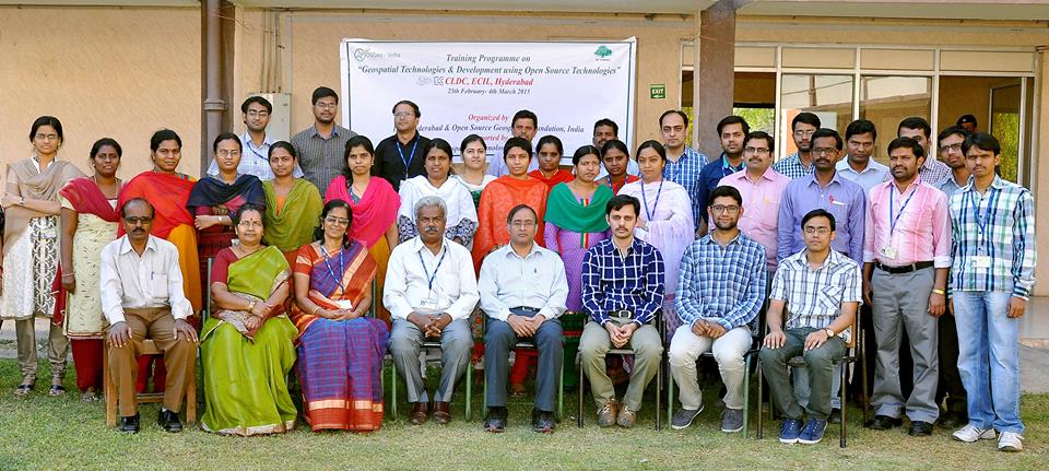
ECIL

Workshop on development of custom interfaces using C++ and QGIS

FSI

Workshop on handling very large spatial datasets pertaining to forests

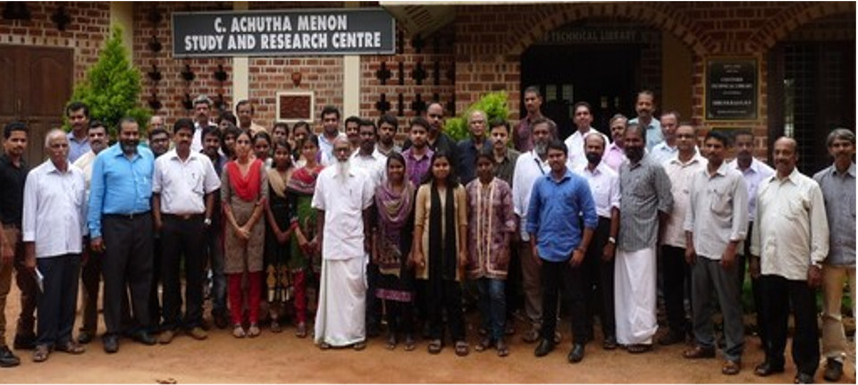
Salim Ali Foundation

Applications of FOSS4G in biodiversity conservation
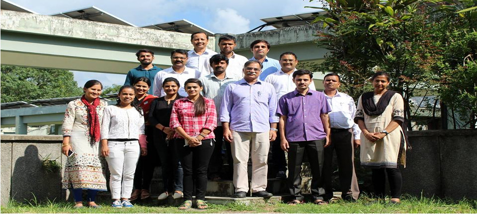
WII

Workshop on management spatial data in a research organization.
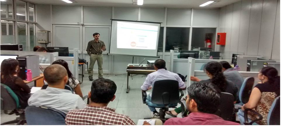
IIIT Hyderabad

Workshop on GIS application development on Web

Telangana

Workshop on usage of Mobile apps for Asset mapping.

Video Tutorials

Choose what you'd like to learn from our extensive video library that will help in experimenting with the open data & opensource software.

E-books

For users who want to access the lesson content in mobile can buy our ebooks and access them through the kindle app.

Ready to get started? Sign up now!


Get expertise in GIS & Remote Sensing and access to everything we offer by signing in.

New User/Already have an account?